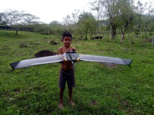
Drone-supported hazard and risk analysis
Generation of aerial imagery and 3D-Terrain Models to determine hazard prone areas and monitor project progress.
Copy and paste this URL into your WordPress site to embed
Copy and paste this code into your site to embed